08Websites and digital assetsReal estate and finance
Signal Karka
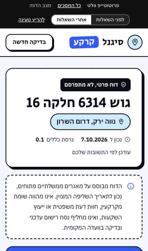
a factual land report by block and parcel
signal-karka.orenmintz.workers.dev
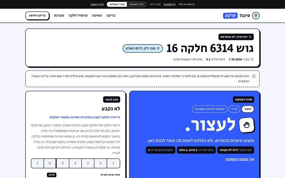
Enter a block and parcel number or an address, and get a factual report on the land: ownership, the plans that apply to it, zoning, warning signs, and one line of conclusion: stop, check further, or go on to a professional review.
Beta in preview: a parcel report, no valuation, no guessing

The challenge
People buying land in Israel, especially farmland that is "about to be rezoned", rarely know its real planning status, and the information is spread across government databases that were never built for a private person. The national planning database blocks broad queries and mostly covers plans from 2012 onward. Above all, a tool like this cannot say "buy" or what the land is worth. Valuation is reserved by law for a licensed appraiser.
What I did
- Defined what the tool says and what it does not. The conclusion rests on two axes only: how far the land is from a building permit (seven grades, plus "not determined") and how much risk the deal carries (warning signs). No value, no odds of rezoning, no recommendation. Every figure is shown with its source and the date it was pulled.
- Built a data pipeline with no server. Data is pulled from public databases in single, slow requests, precomputed for every parcel (1.1 million of them) and published as static files. The report engine is written in code with hundreds of automated tests, and consistency checks run on the data before every release.
- Replaced the government map's address search with my own, after a mapping of its terms of use showed they forbid that kind of use. Autocomplete runs on the open street and locality lists, followed by a single request to an open mapping service.
- Filled the gaps in the national database. When a base plan probably applies to a parcel but is missing from the database, the report says so instead of staying silent. I also added land tenders that closed within 2,000 meters, without unit prices or winner names, and building permit requests in Tel Aviv from the city's open data.
- Wrote to the government bodies. Letters to the Planning Administration, the Survey of Israel, the Tel Aviv municipality and the Ministry of Agriculture about the use of their data, ahead of a public launch.
The decision that made the difference
Never guess a grade. Before releasing the top grade, "a plan in force under which a building permit can be issued", I ran a sample of 60 parcels against the official planning site, plus 20 in a reverse check. In the reverse check, 5 of 20 parcels had a plan in force that the national database does not contain. The conclusion was that the database is missing whole plans, so that grade is not released. The reason: a report that tells someone their land is ready for building when it is not is worse than one that says "not determined". The tool only shows what it can prove.
What AI did, and what stayed with me
- AI agents worked as professional advisers: an appraisal agent wrote the grade definitions, the warning signs and the conclusion matrix and reviewed the report texts, and a first pass mapping the terms of use of every data source was done with AI, as were the drafts of the letters to the government bodies. The report engine and its hundreds of tests were written with AI.
 I drew the lines: no value, no odds and no recommendation; no user uploads, only data pulled from sources; and the top grade stays locked until a sample proves it. I also rejected a first design that felt tired to me and went for a bolder direction.
Outcome
- A live beta in preview since October 8, 2026, with a report for every parcel in the country by block and parcel or by address.
- A card for every plan that applies to the parcel, a site sketch with neighboring parcels, and a "surroundings and restrictions" block.
- Four letters to government bodies were sent on October 21, 2026.
Link
signal-karka.orenmintz.workers.dev (beta, blocked from Google)